Séamus Murphy
  • Teaching
  • LiDAR
  • Verification
  • Mapping
  • Projects
  • Publications

Teaching

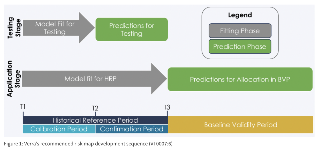
VT0007: JREDD+ Risk Mapping

Risk assessment toolkit for Jurisdictional REDD+ programs implementing VT0007 methodology. Features geospatial analysis scripts for identifying and mapping deforestation risk factors, including proximity to infrastructure, agricultural pressure zones, and historical forest loss patterns. Integrates multiple satellite data sources (Landsat, Sentinel-2, MODIS) with socioeconomic indicators to generate probabilistic risk surfaces supporting strategic intervention planning and monitoring system design for jurisdictional-scale forest conservation programs.

Nov 6, 2024

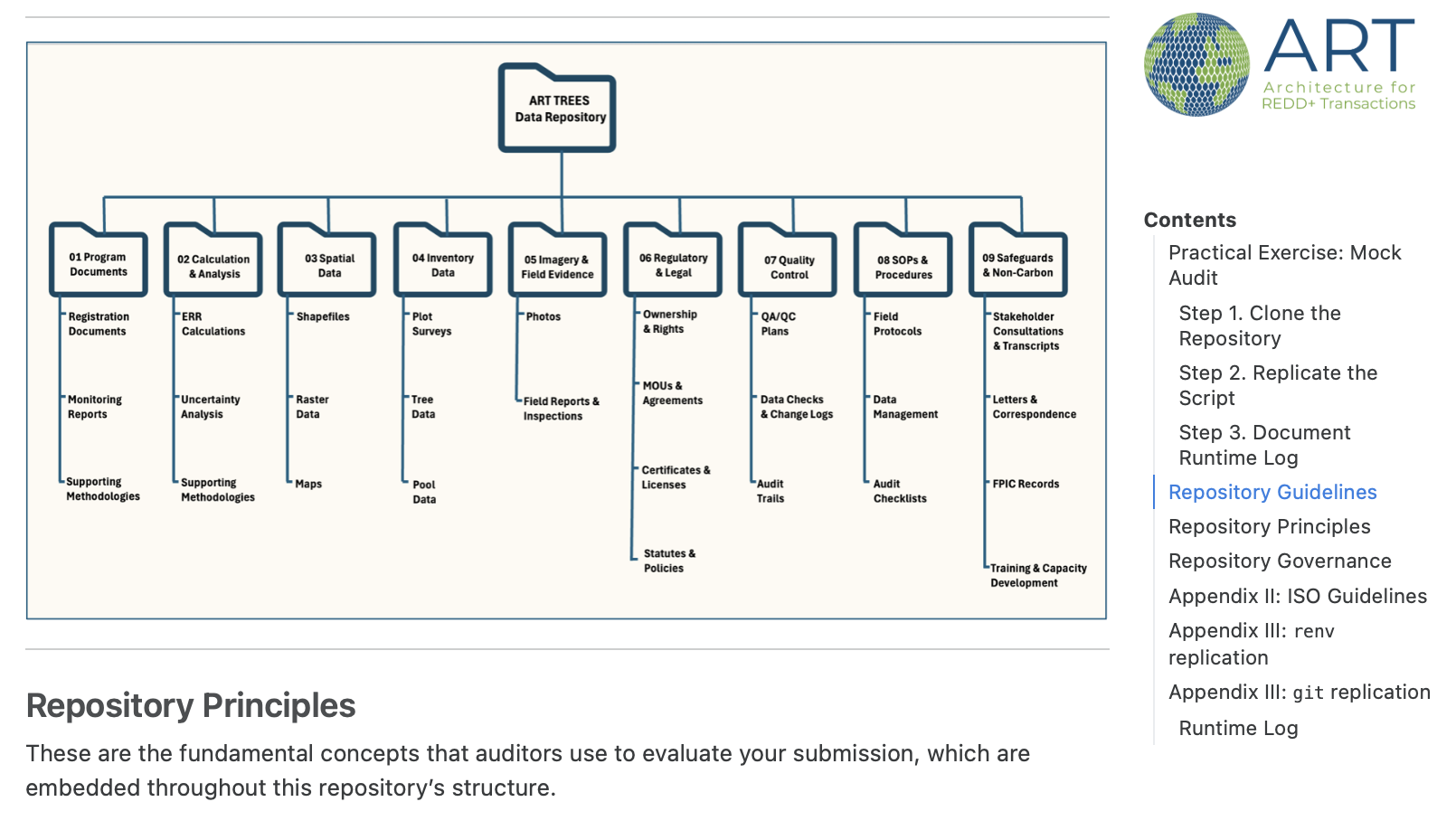
ART-TREES: Demo Repository

Demonstration repository showcasing version control best practices for greenhouse gas calculation workflows under ART-TREES methodology. Features standardized Git workflows, automated testing frameworks, and documentation templates ensuring reproducible carbon accounting processes. Includes branching strategies for collaborative development, continuous integration pipelines for calculation validation, and release management procedures supporting transparent and auditable REDD+ project development.

Aug 11, 2025

ART-TREES: Allometry Validation

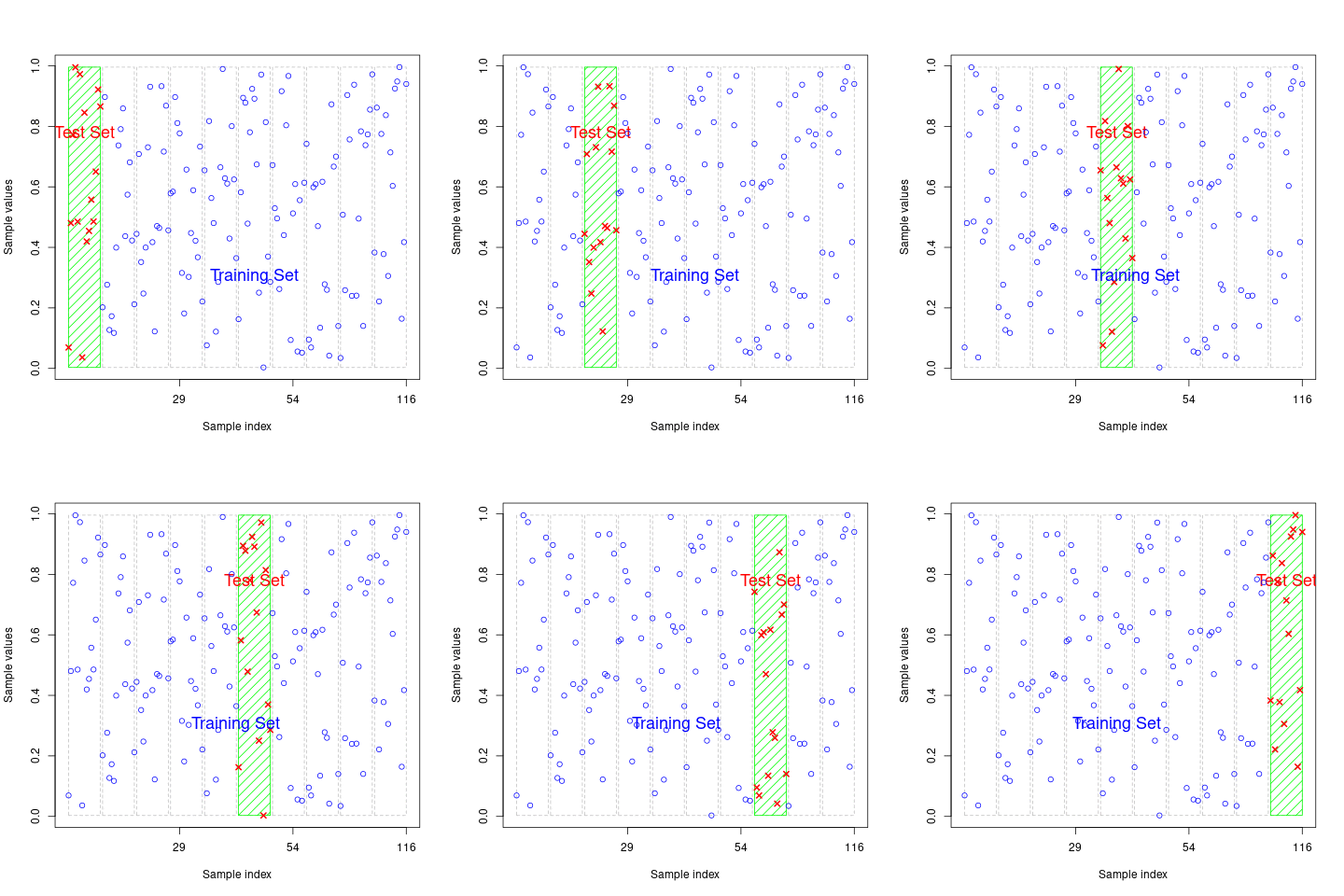
Validation and calibration procedures for allometric biomass models compliant with ART-TREES requirements. Technical guidance in model selection methodology for avoiding Types 1-4 statistical errors, bias corrections and hyperparameter tuning.

Feb 16, 2025

ART-TREES: Monte Carlo Tools

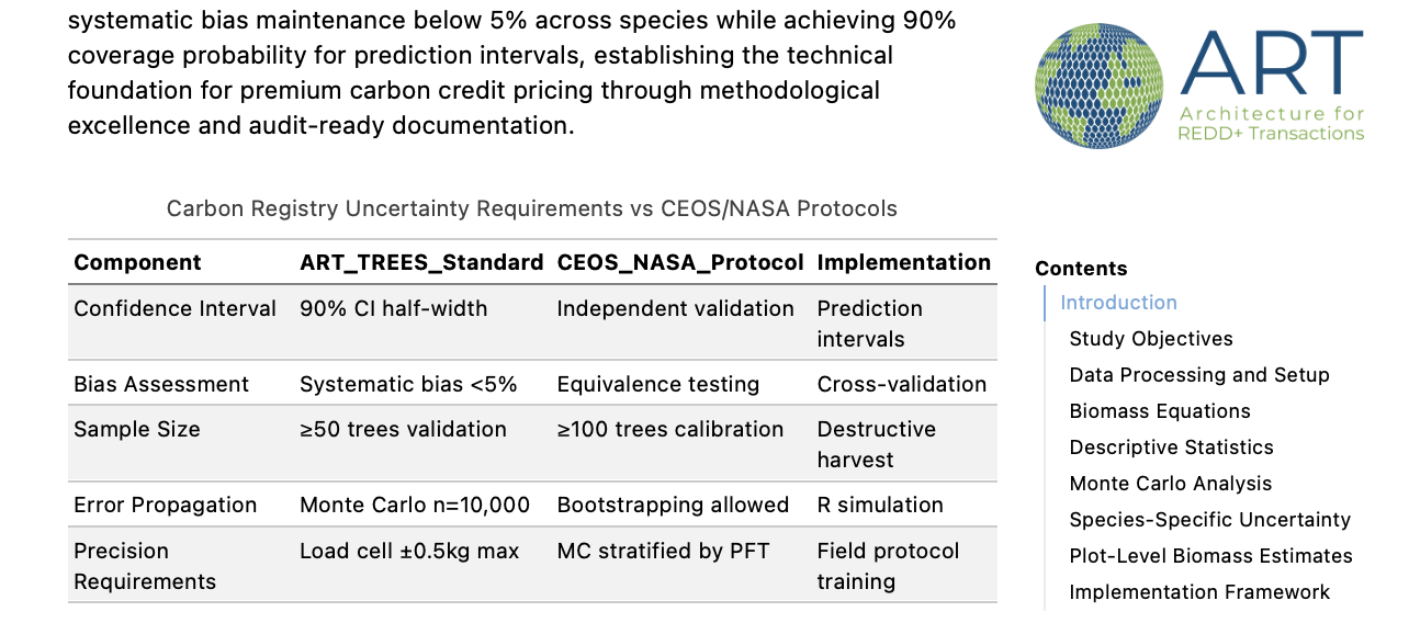
Monte Carlo simulation methods for estimating uncertainty of REDD+ emission factors and activity data in compliance with ART-TREES Standard V2.0. Features workflows for biomass estimation uncertainty analysis, allometric model error propagation, and activity data variance assessment using 10,000-iteration simulations with 90% confidence intervals. Includes specialized modules for cross-validation bias detection, spatial uncertainty modeling, and automated uncertainty deduction calculations that also incorporate best practices from CEOS LPV Biomass Protocol.

Dec 19, 2024

CFFDRS-2.0: Wildfire Risk Mapping

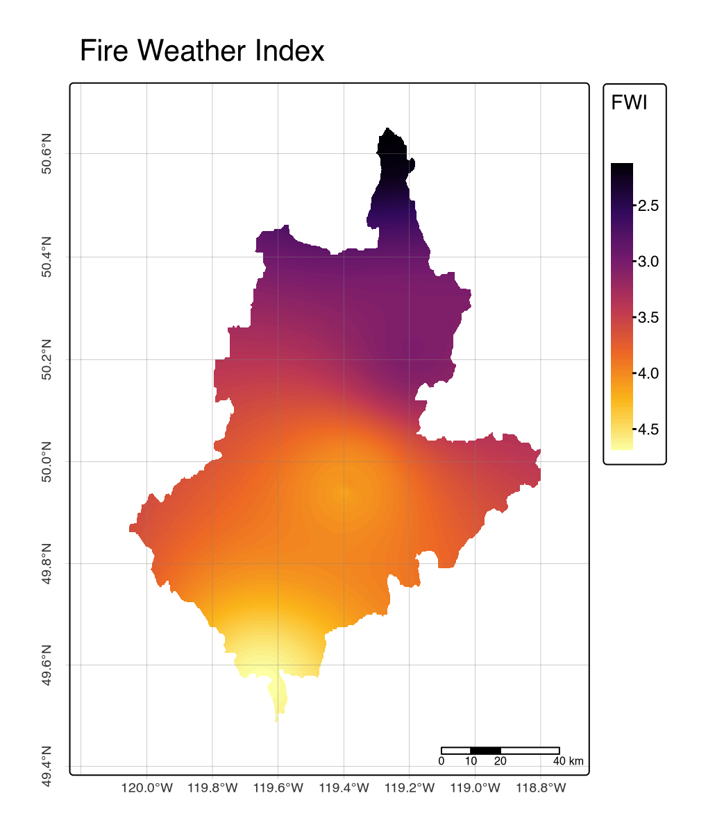
Operational workflow for wildfire risk mapping and fuel typing in accordance with the updated Canadian Forest Fire Danger Rating System (V2.0) for British Columbia’s Okanagan Watershed. This reproducible workflow integrates satellite-derived elevation data, gridded climate variables from Environment and Climate Change Canada weather stations, and BC Vegetation Resource Inventory (VRI) datasets. The methodology processes Digital Elevation Models, applies Inverse Distance Weighting interpolation for climate data, and implements Wotton and Beverly’s stand-adjusted fine-fuel moisture content model. Using the cffdrs R package, the workflow generates Fire Weather Index (FWI), Initial Spread Index (ISI), and Build-up Index (BUI) raster outputs. Features comprehensive fuel type classification based on species composition and stand density, producing Head Fire Index and Fire Intensity predictions to support operational fire management teams, researchers, and wildfire risk assessment applications.
Feb 24, 2022

Mapping Templates: Site Visualization

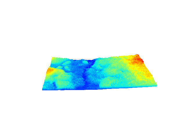
Suite of every-day maps used operational site mapping designed to support fieldwork and environmental analysis activities. This resource includes topographic, hydrographic, demographic, and watershed cartographic tools. Site maps were designed for supporting boundary identification and field access, with Locator inset maps also provided for helping users within quickly orientate themselves within local and national landscapes. A final section was added showcasing 3-D mapping of watershed delineation and topopgrahy useful for environmental impact assessments between upstream and downstream sites. These templates serve as practical tools for researchers, environmental analysts, and field professionals requiring standardized every-day mapping solutions for site orientation and operational planning.

Dec 4, 2024

LiDAR: Forest Height Analysis

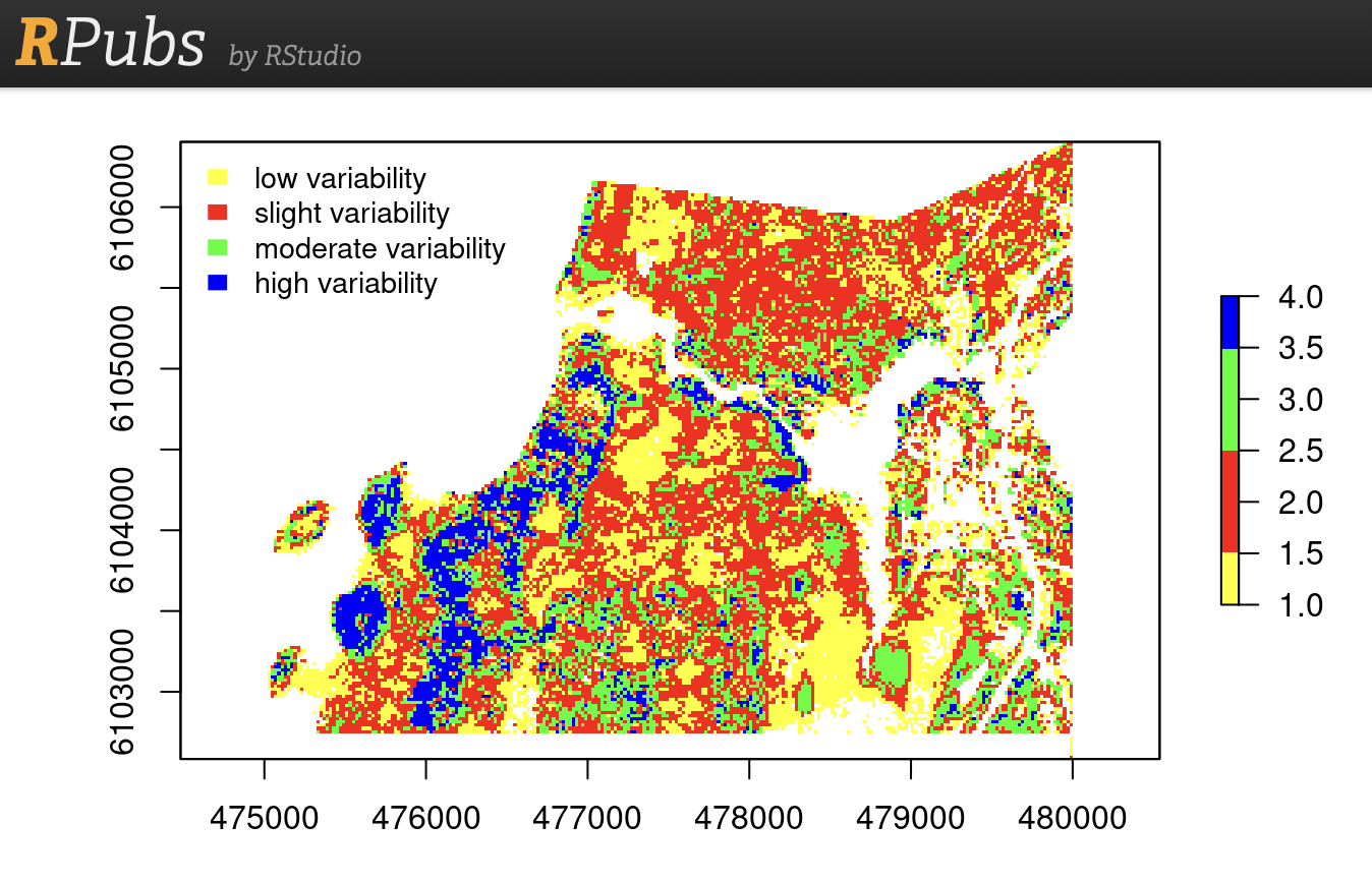
Advanced forest structure analysis toolkit combining LiDAR and photogrammetric data for operational forest inventory planning. Features automated tree top detection algorithms, canopy height model generation, and stand structure characterization supporting efficient field plot allocation and sampling design. Includes crown delineation protocols, diameter-height relationship modeling, and accessibility analysis for optimizing field crew deployment in complex terrain environments.

Oct 15, 2023

LiDAR: Point Cloud Processing

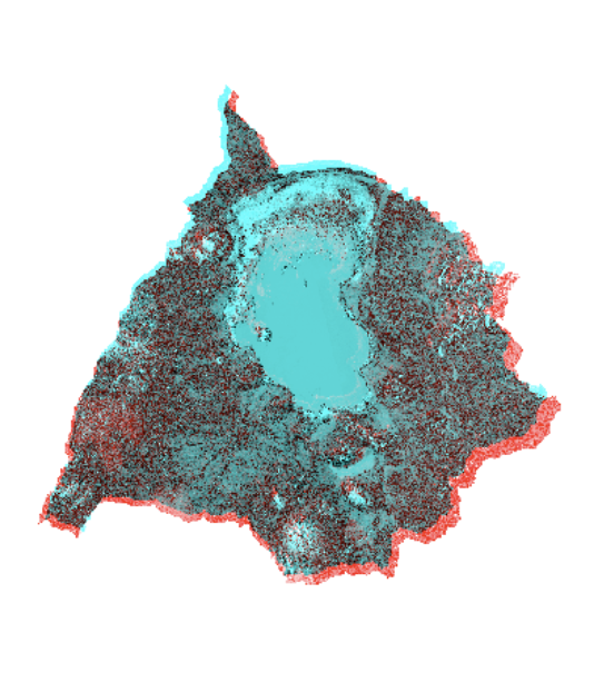
End-to-end workflow for processing raw airborne LiDAR point cloud data into digital terrain models and normalized canopy height products. Features comprehensive ground point classification using Cloth Simulation Filter (CSF) and Progressive Morphological Filter (PMF) algorithms, automated noise removal protocols, and high-resolution Digital Terrain Model generation. Includes individual tree detection and crown segmentation methodologies, stems-per-hectare estimation using both point-based and raster-based approaches, and LAScatalog batch processing techniques for memory-efficient handling of large-scale datasets. Commissioned by BC Timber Sales for Enhanced Forest Inventory applications supporting operational forest mensuration and ecological analysis workflows.

Feb 24, 2022

LiDAR: Ash Dieback Stem Mapping

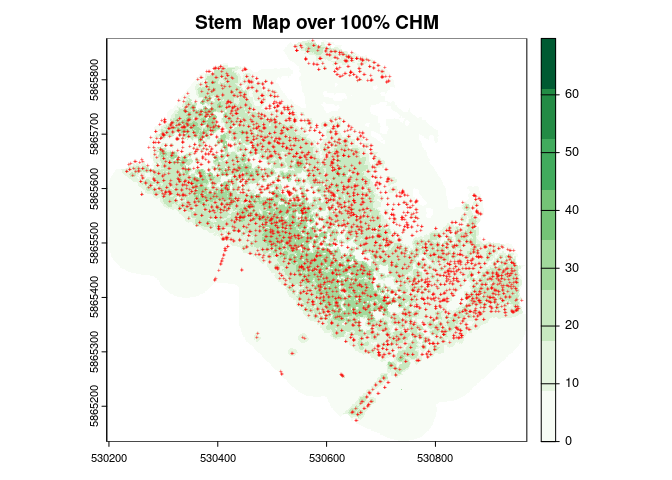
LiDAR workflow for mapping ash dieback disease (Hymenoscyphus fraxineus) using high-resolution point cloud data and field validation. Combines canopy metrics with ground data to detect disease progression patterns, quantify canopy gaps from ash mortality, and map stem distribution changes over time. Features automated algorithms for identifying healthy versus declining ash trees through LiDAR-derived crown metrics, supporting targeted forest health interventions and silvicultural planning in diseased stands.

Mar 12, 2022

Wetlands Mapping: SAR & Landsat Workflows

Framework for mapping endorheic wetland dynamics, combining Sentinel-1 InSAR processing with Landsat time series analysis (1994-2015), using water extraction indices (NDWI, MNDWI, AWEIsh) and spectral mixture analysis for sub-pixel water detection. Community mapping components include key informant interviews, focus group discussions, and rapid participatory appraisals capturing local ecological knowledge of seasonal fishing migration patterns and traditional resource management practices.

Jun 15, 2024

GeoODK Survey: Open Source Build

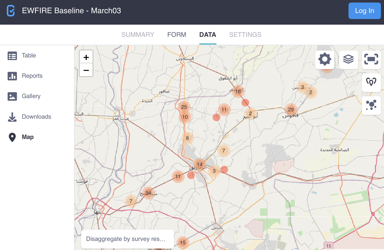
Open-source mobile data collection framework built on Open Data Kit (GeoODK) architecture for socioeconomic field surveys. Provides customizable survey templates, GPS-enabled data collection forms, with automated quality control protocols, multilingual support, and integrated statistical sampling tools using android mobile devices

Feb 5, 2018
No matching items

Source