Séamus Murphy
  • Teaching
  • LiDAR
  • Verification
  • Mapping
  • Projects
  • Publications

Mapping

Interactive mapping templates and cartographic workflows for geospatial analysis and visualization. View the complete collection at my map templates website.
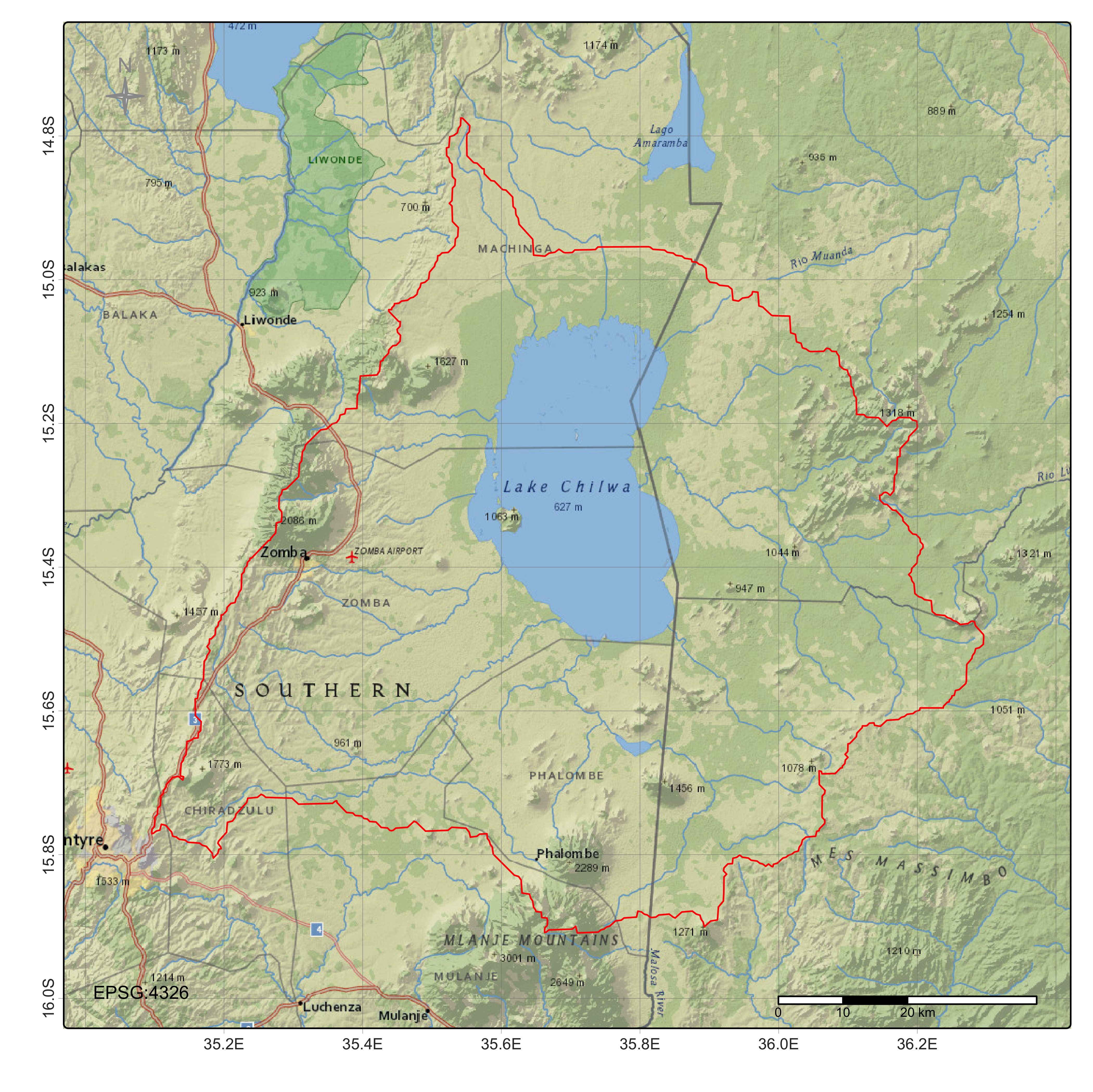
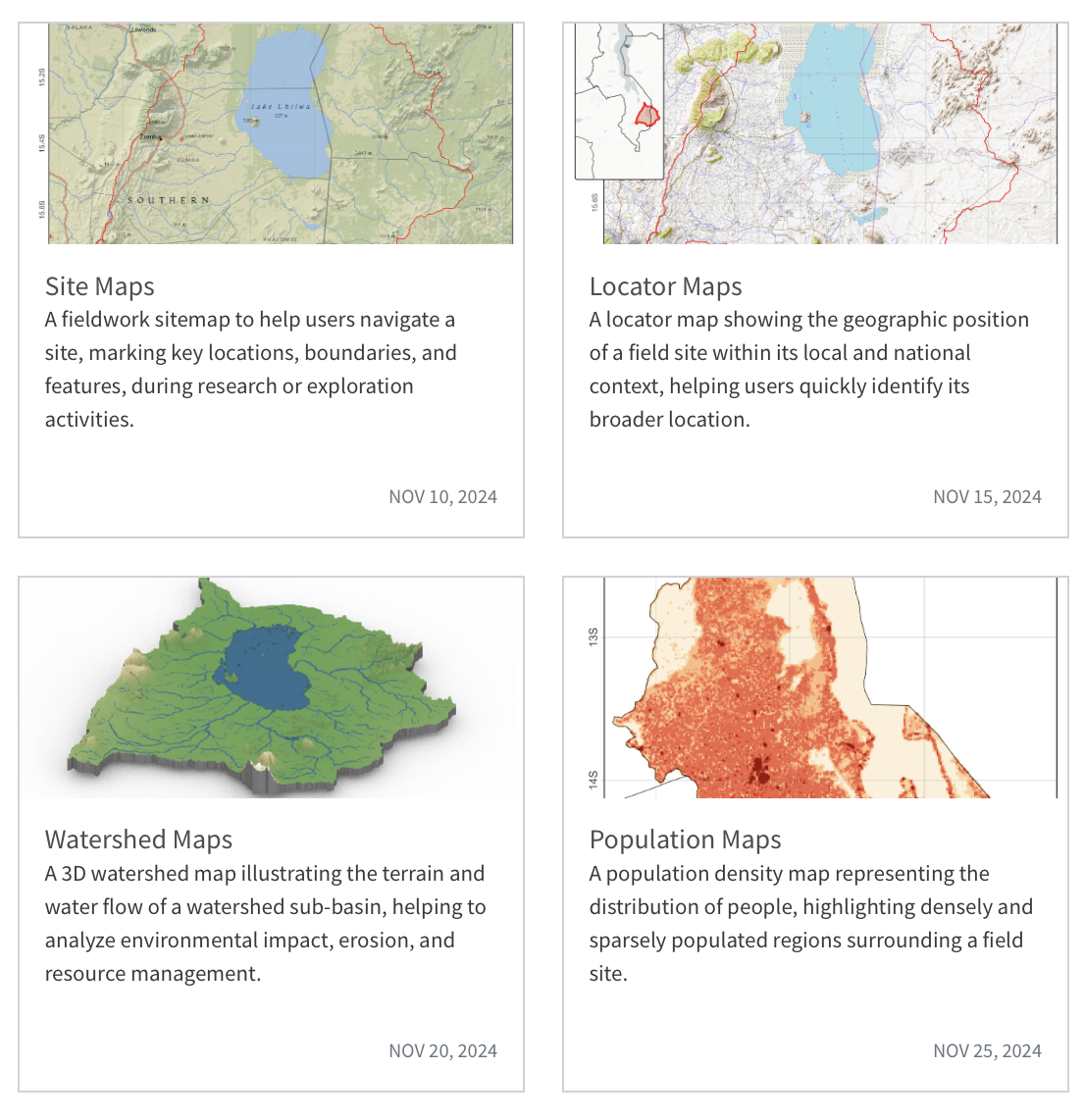
Site Maps:

Collection of site maps, including static maps designed for field operations teams and interactive maps for collective review of waypoints or target locations. Static maps were derived to ensure customizable basemaps, project boundary delineation, geographic coordinate grid and graticule cross-hairs. Legends were added using tmap functions that ensure minimum cartographic features are rendered including scale bars and north arrows.

Dec 15, 2024

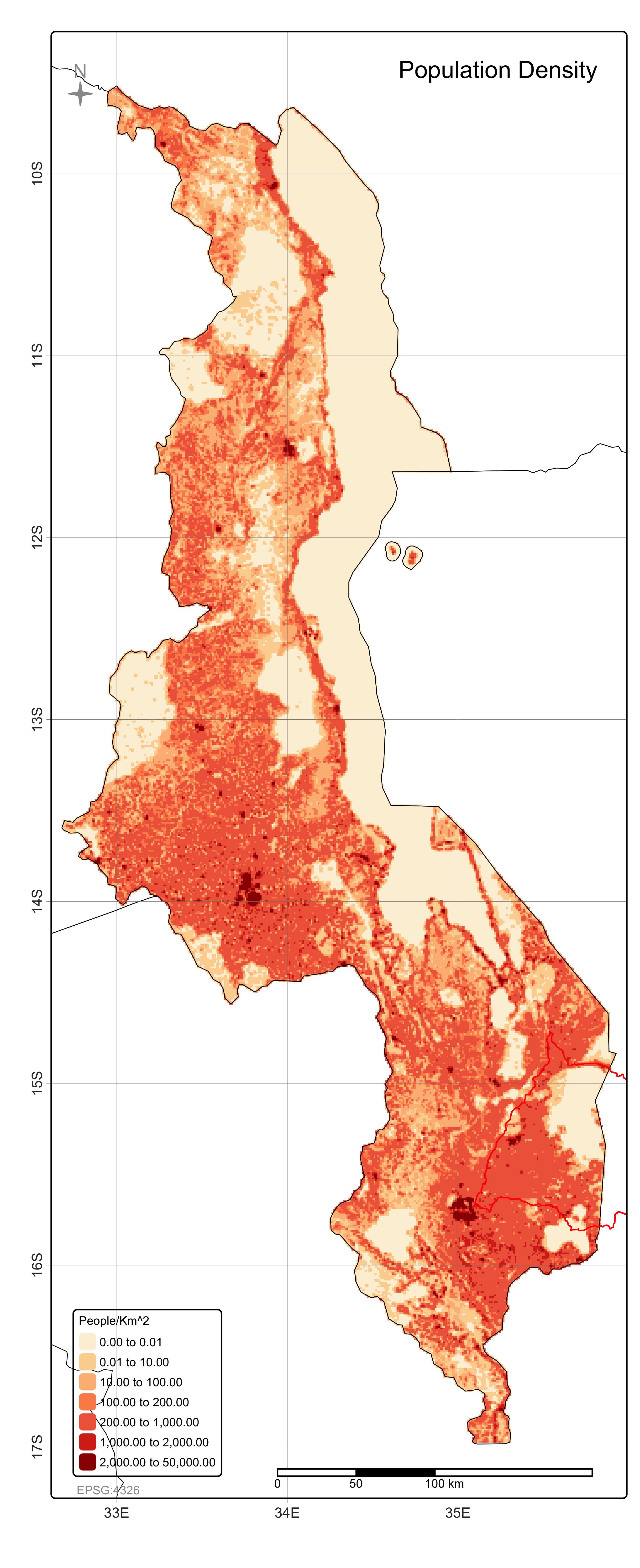
Population Maps:

Robust template and data source for rapid population density and demographic analysis useful for community impact assessments and initial stakeholder mapping. Visualizing census data and human settlements, population maps provide key tools at initial stages or during ex-post project evaluations.

Nov 20, 2024

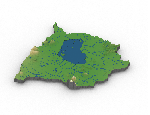
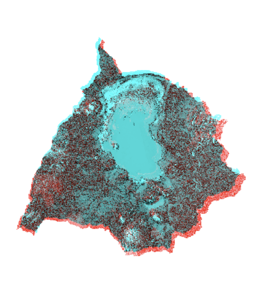
Watershed Maps:

Three-dimensional topographic delineation of the surrounding immediate watershed sub-basin. Watershed mapping provides essential resources for hydrological analysis of catchment dynamics, shared boundary, and flow direction analysis. This workflow includes tools for drainage area calculations, outlet point identification, stream network and contour visualizations, which are used to inform environmental impact studies and risk assessment between upstream and downstream features.

Nov 28, 2024

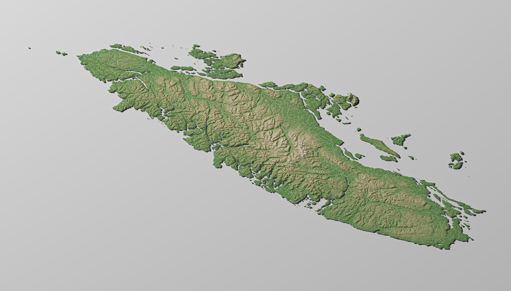
Riparian Maps:

Riparian map including DEM conditioning by breaching and filling depressions and flats, and stream delineation using flow direction and accumulation rendered in 3D over elevation data designed to support wetland conservation, streambank stabilization projects, and riparian vegetation management strategies.

Sep 20, 2025

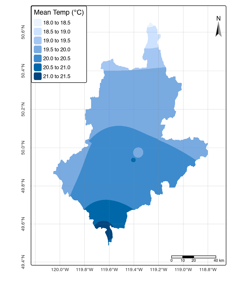
Climate Maps:

Climate maps featuring mean daily temperature (°C), precipitation (mm³/day), relative humidity (%), and wind speed (m/s) derived from Environment and Climate Change Canada weather station data using Inverse Distance Weighting interpolation. Station data aggregated over specified periods and spatially interpolated to continuous raster surfaces, supporting wildfire risk assessment, agricultural planning, environmental monitoring, and climate impact studies for operational decision-making.

Aug 1, 2025

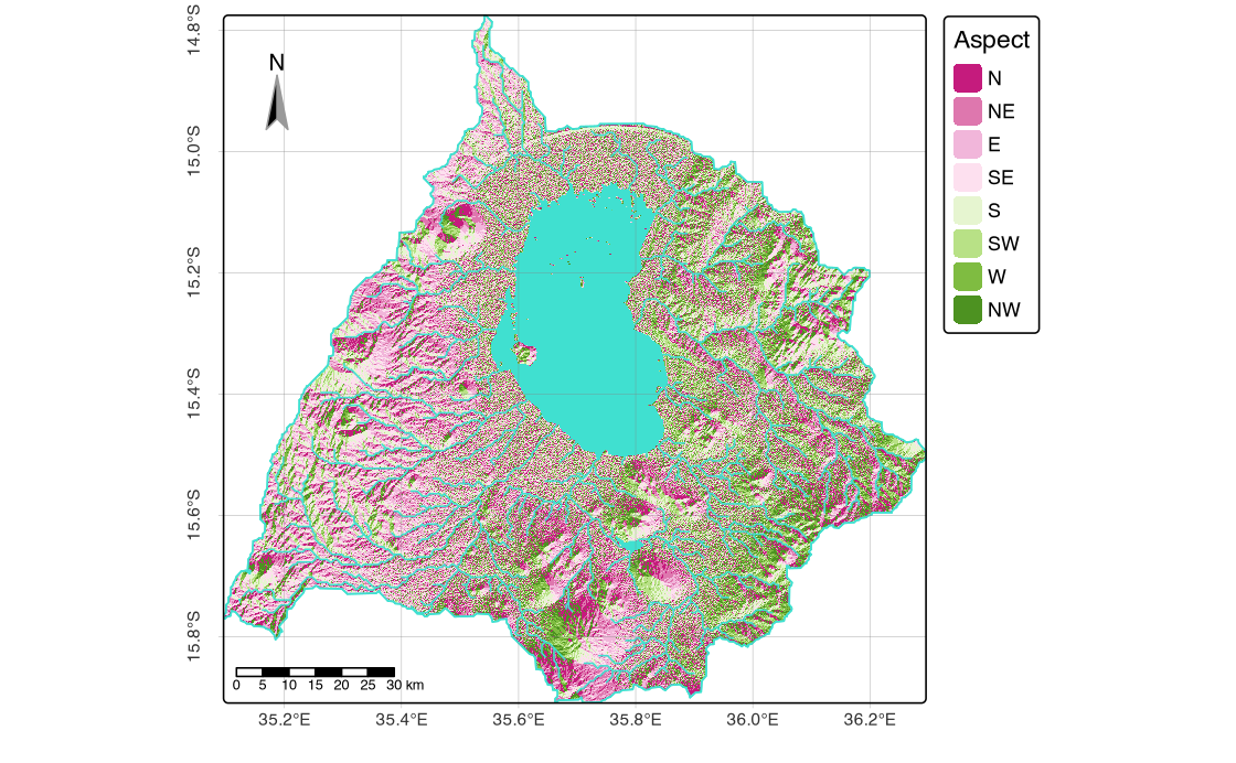
Topography Maps:

Topographic maps featuring classified slope percentages and cardinal aspects derived from conditioned DEM data. These maps support terrain assessment, erosion risk evaluation, slope stability analysis, and site suitability planning for infrastructure development, agricultural practices, and environmental management operations.

Aug 1, 2025

Mapping Templates: Site Visualization

Collection of every-day maps used operational site mapping designed to support fieldwork and environmental analysis activities. This resource includes topographic, hydrographic, demographic, and watershed cartographic tools. Site maps were designed for supporting boundary identification and field access, with Locator inset maps also provided for helping users within quickly orientate themselves within local and national landscapes. A final section was added showcasing 3-D mapping of watershed delineation and topopgrahy useful for environmental impact assessments between upstream and downstream sites. These templates serve as practical tools for researchers, environmental analysts, and field professionals requiring standardized every-day mapping solutions for site orientation and operational planning.

Dec 4, 2024

Wetlands Mapping: SAR & Landsat Workflows

Framework for mapping endorheic wetland dynamics, combining Sentinel-1 InSAR processing with Landsat time series analysis (1994-2015), using water extraction indices (NDWI, MNDWI, AWEIsh) and spectral mixture analysis for sub-pixel water detection. Community mapping components include key informant interviews, focus group discussions, and rapid participatory appraisals capturing local ecological knowledge of seasonal fishing migration patterns and traditional resource management practices.

Jun 15, 2024

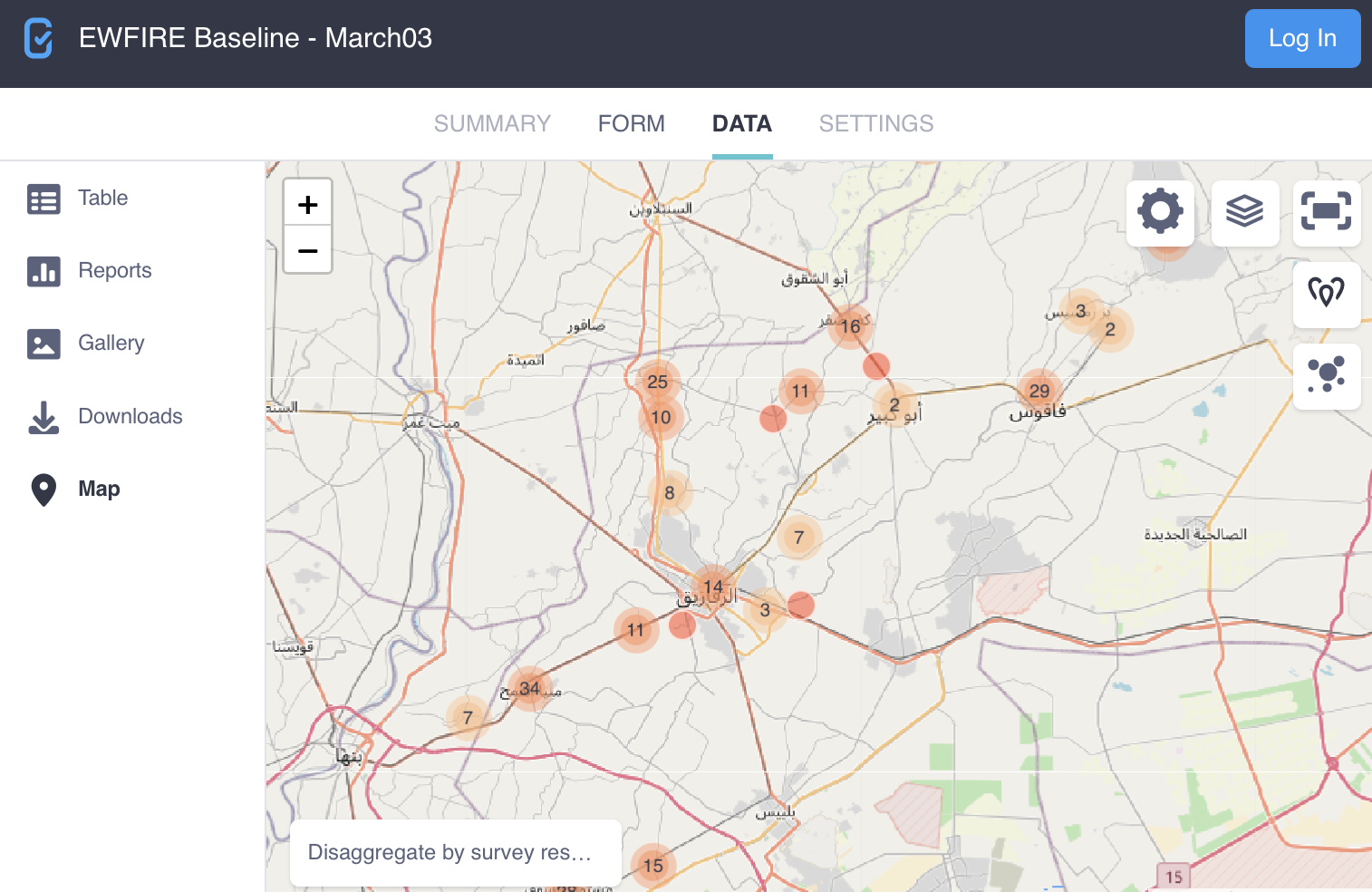
GeoODK Survey: Open Source Build

Open-source mobile data collection framework built on Open Data Kit (GeoODK) architecture for socioeconomic field surveys. Provides customizable survey templates, GPS-enabled data collection forms, with automated quality control protocols, multilingual support, and integrated statistical sampling tools using android mobile devices

Feb 5, 2018
No matching items

Source