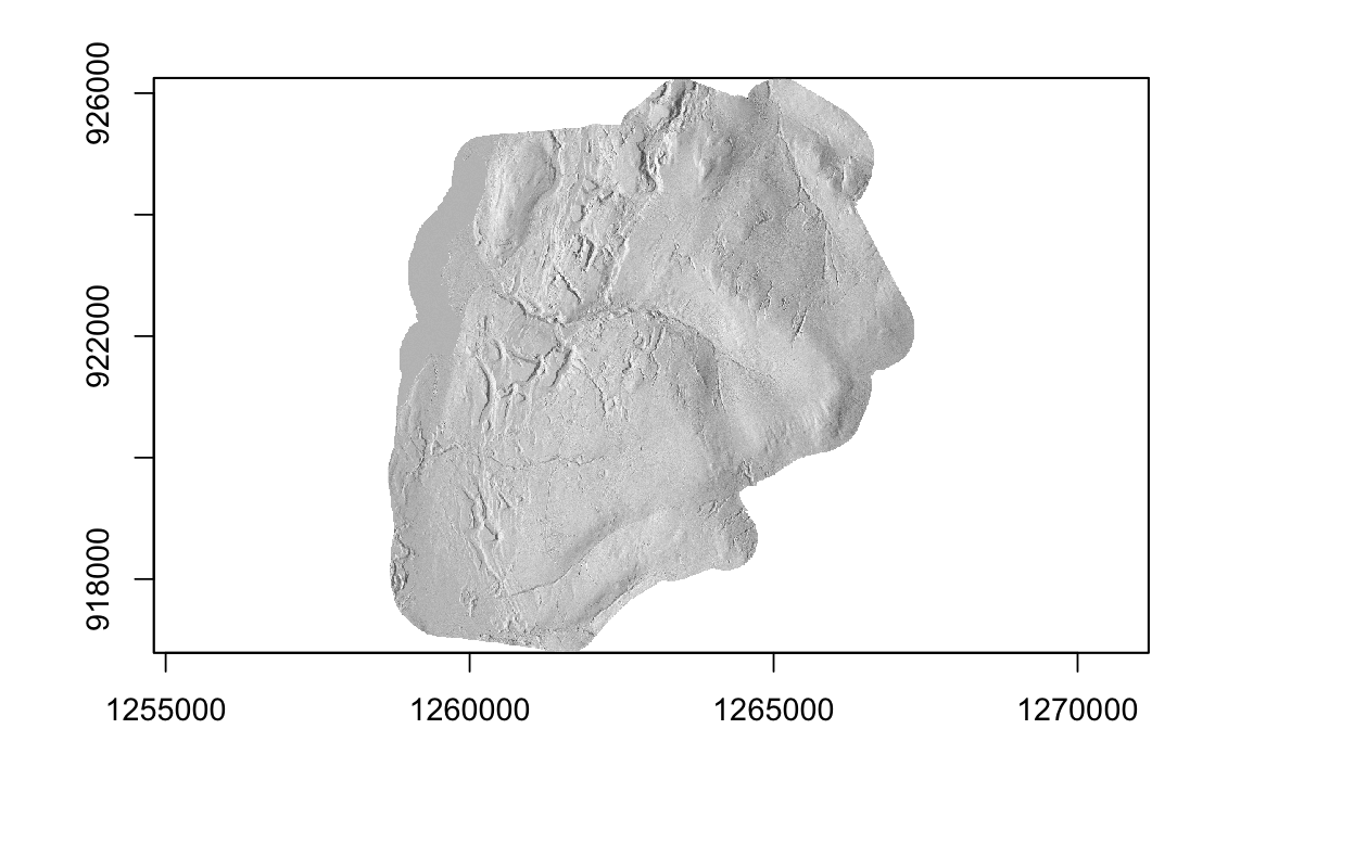
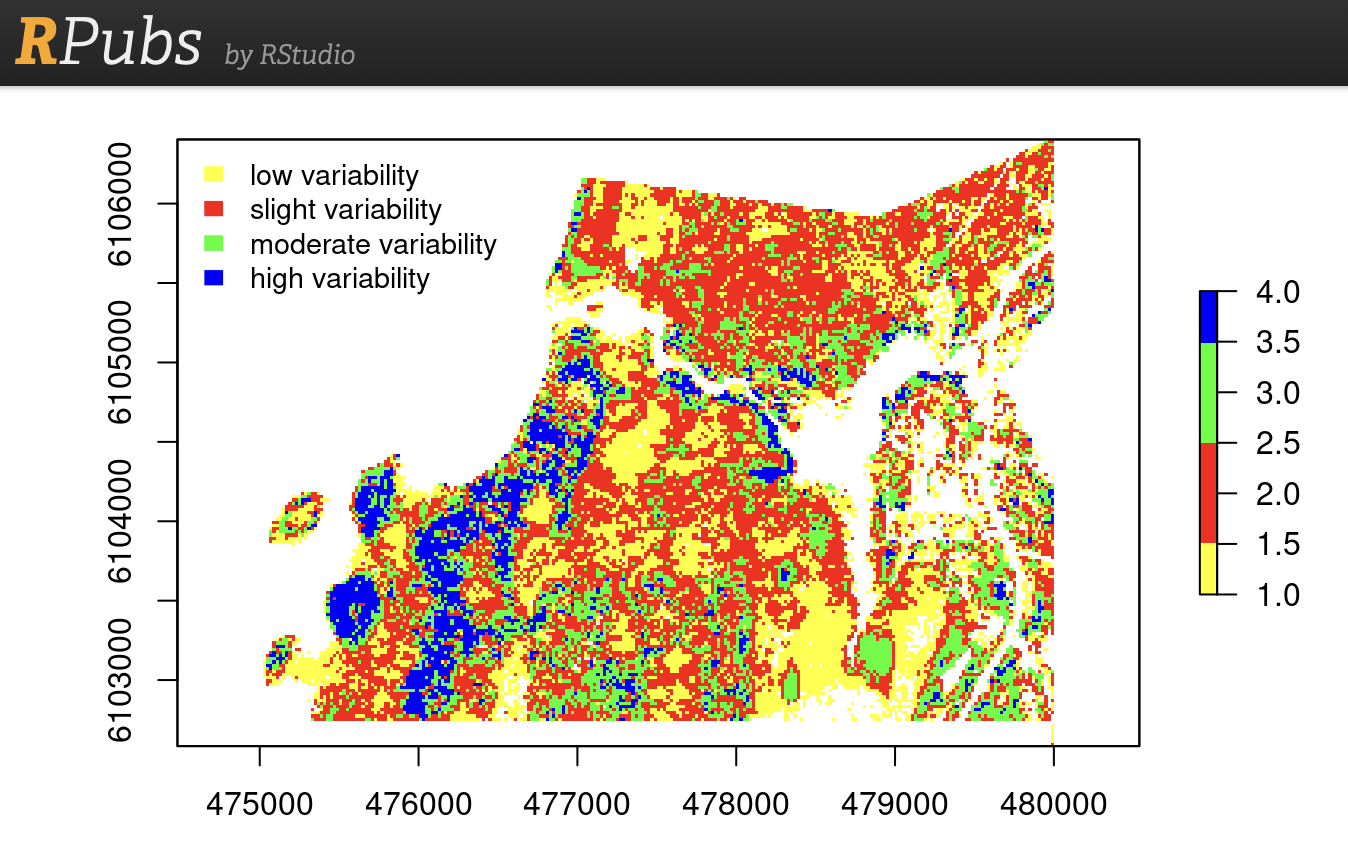
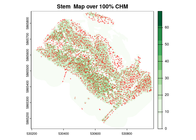
End-to-end workflow for processing raw airborne LiDAR point cloud data into digital terrain models and normalized canopy height products. Features comprehensive ground point classification using Cloth Simulation Filter (CSF) and Progressive Morphological Filter (PMF) algorithms, automated noise removal protocols, and high-resolution Digital Terrain Model generation. Includes individual tree detection and crown segmentation methodologies, stems-per-hectare estimation using both point-based and raster-based approaches, and LAScatalog batch processing techniques for memory-efficient handling of large-scale datasets.