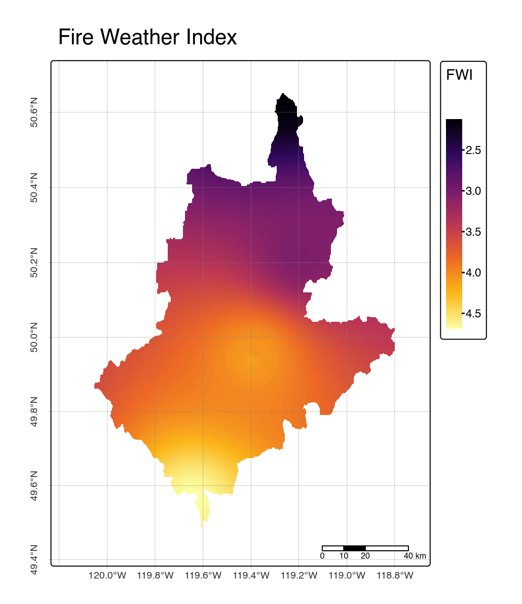
Operational workflow for wildfire risk mapping and fuel typing in accordance with the updated Canadian Forest Fire Danger Rating System (V2.0) for British Columbia’s Okanagan Watershed. This reproducible workflow integrates satellite-derived elevation data, gridded climate variables from Environment and Climate Change Canada weather stations, and BC Vegetation Resource Inventory (VRI) datasets. The methodology processes Digital Elevation Models, applies Inverse Distance Weighting interpolation for climate data, and implements Wotton and Beverly’s stand-adjusted fine-fuel moisture content model. Using the cffdrs R package, the workflow generates Fire Weather Index (FWI), Initial Spread Index (ISI), and Build-up Index (BUI) raster outputs. Features comprehensive fuel type classification based on species composition and stand density, producing Head Fire Index and Fire Intensity predictions to support operational fire management teams, researchers, and wildfire risk assessment applications.